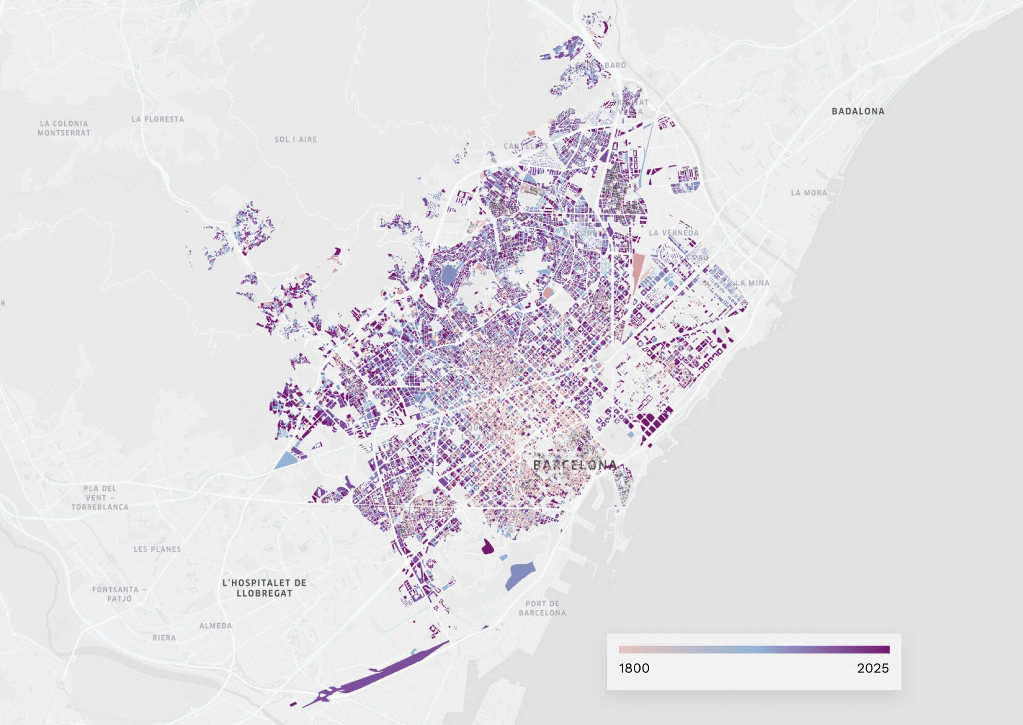
Barcelona: a city built in Stone. Discover the urban fabric that time has shaped
Madrid never stands still
Its ever-changing skyline proves it—but it’s the data that tells the real story. To understand how the city has evolved, we’ve created an animated map that visualises Madrid’s urban growth, from the historic core to the newest developments.
Madrid’s urban journey is deeply rooted in its past:
Until 1860, it was a compact city of under 300,000 residents, confined within the “Cerca de Felipe IV”—today’s Madrid de los Austrias.
The Castro Plan (1860) marked the beginning of the city’s expansion beyond its walls, introducing new boulevards and rational street grids in neighbourhoods like Chamberí, Salamanca, Moncloa and Arganzuela.
Between 1930 and 1970, Madrid’s population soared—from one to over three million—leading to the creation of large peripheral neighbourhoods such as Usera, Aluche, Vallecas and Carabanchel.
From the 2000s onward, residential developments like Sanchinarro, Las Tablas, Montecarmelo and Ensanche de Vallecas emerged, designed with modern living standards and energy efficiency in mind.
Today, Madrid faces new challenges and ambitions, from major urban projects like Madrid Nuevo Norte and Campamento to urgent priorities in mobility, sustainability, and balancing the needs of residents and tourists.

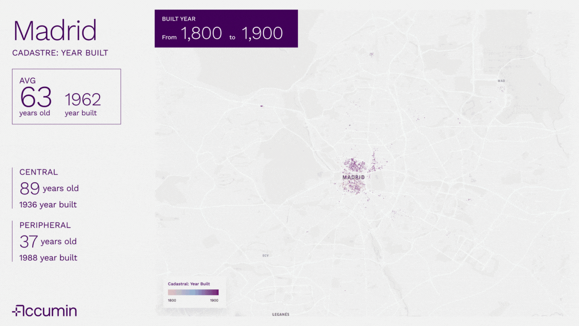
Historic Centre – Lavapiés, Malasaña, Chamberí: These areas host buildings over 80–100 years old, preserving the city's architectural heritage and dense street layouts.
Mid-century belt – Moratalaz, Ciudad Lineal, Fuencarral: Developed during the 20th-century housing boom, with uniform building types and functional urban design.
New developments – Valdebebas, Ensanche de Vallecas, Sanchinarro: Built for the 21st century, they combine green spaces, energy-efficient design and digital connectivity.
One of the most striking insights from the animated map is the contrast in building age across the city. In central districts, the average building is 89 years old, while in peripheral areas, it drops to just 37 years. This gap highlights the need for targeted urban policies around renovation, energy efficiency and sustainable planning.
At Accumin Intelligence, we analyse this data through predictive models to anticipate future challenges. We help cities like Madrid grow smarter, sustainably—and with clarity.

Gerardo Raído